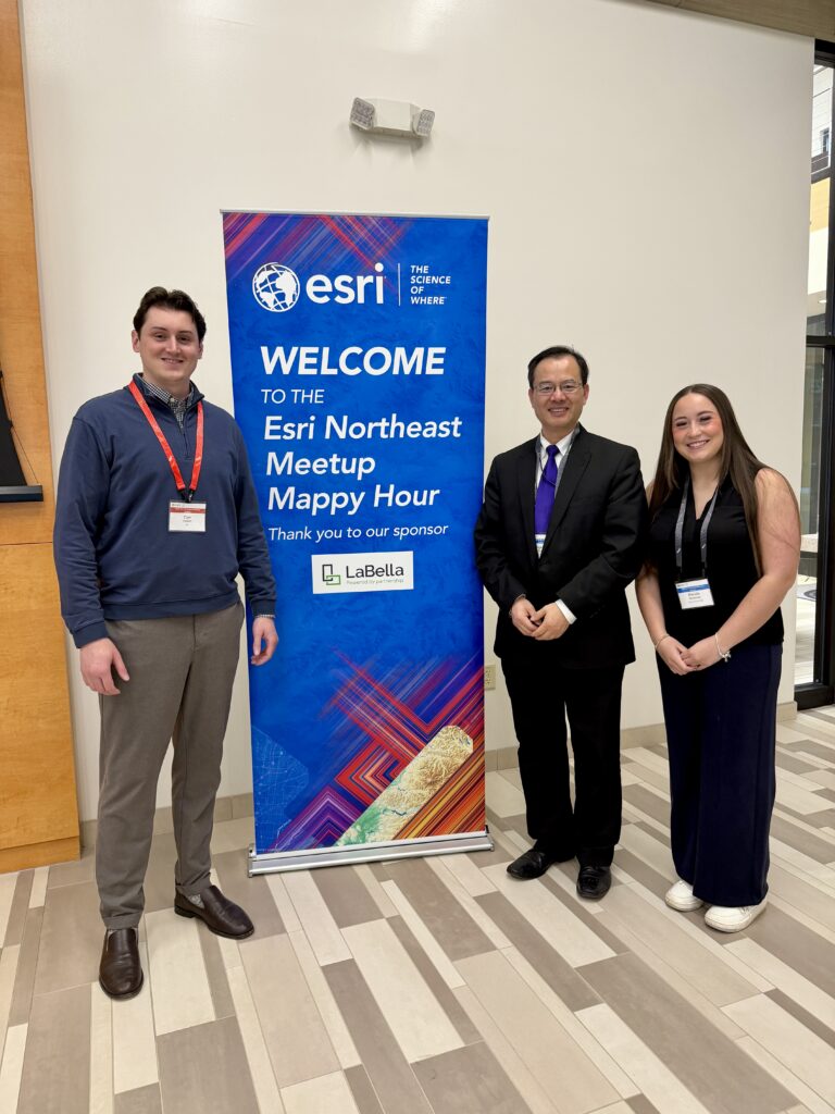
On April 28, 2026, Dr. Yonghong Tong, associate professor of Computer and Information Sciences (CIS), and Mariela Mulready, a senior CIS major, attended the 2026 Esri Northeast Meetup – Buffalo, hosted at Buffalo State University. The half-day professional event brought together GIS professionals, government leaders, industry experts, and academic partners from across the Northeast to explore the latest innovations in geographic information systems (GIS) and spatial intelligence.
“GIS and spatial intelligence continue to grow as transformative tools for research, community development, and social impact,” Dr. Tong said. “GIS is absolutely exploding right now! It’s no longer just about maps; it’s revolutionizing everything from criminology to environmental science to marine biology. By combining spatial data with artificial intelligence, we’re reaching a level of spatial intelligence that was impossible five years ago. We aren’t just visualizing data anymore—we’re predicting the future and making the smartest decisions we’ve ever made.”
“Now, this spatial intelligence allows us to better implement Niagara University’s Vincentian mission: strengthening community engagement, promoting human dignity, and developing innovative solutions to address our most pressing social challenges,” Dr. Tong added.
Mulready is currently serving as a GIS intern with the City of Niagara Falls, contributing to the development of the new FallsViewer Municipal GIS Portal. Her work on the project has helped create a new digital perspective for the city, providing valuable spatial data resources that can support future research, planning, and community initiatives.
Through her coursework in GIS at Niagara University and her internship experience, Mulready has gained valuable hands-on experience applying classroom knowledge to real-world municipal projects. Mulready said, “A year ago, I didn’t even know what GIS was, but through my courses in the Computer Information Sciences program at Niagara University it opened my eyes to an entirely new world that deeply interests me. Being able to transition that theoretical knowledge into hands-on work during my internship with the City of Niagara Falls has been a pivotal experience. Developing the “Falls Viewer” website allowed me to bridge technical backend workflows in ArcGIS Pro with front-end public accessibility using ArcGIS Experience Builder. Attending the Esri Northeast Meetup and sharing my project with some leaders from Esri was incredibly rewarding. It validated my work in spatial data management and showed me just how vast and impactful the field is to the community. Seeing the innovative ways other professionals are using Esri products gave me so much inspiration for my own future projects, and I’m excited to keep exploring what’s possible!”
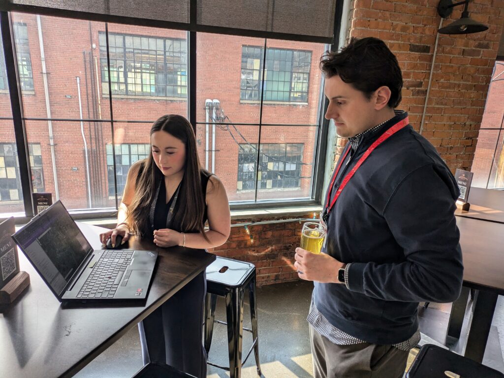
Mulreadyhad the opportunity to demonstrate her ArcGIS Online project to Cian Kellett from Esri and Greg Coniglio from LaBella Associates, showcasing both her technical skills and the practical impact of GIS in local government.
Cian Kellett shared his perspective on Mulready’s work and Niagara University’s growing GIS engagement. Cian said, “It was a pleasure meeting Dr. Tong and Mulready at the Esri Northeast Meetup. I was really impressed by the work both Niagara University and the City of Niagara Falls have already accomplished with their Public Map Viewer and Falls Viewer initiative. We had a great conversation about future efforts in the city and how GIS can serve as the engine to support planning, operations, and public communication. I’m looking forward to continuing to work with the City and the University to expand awareness and adoption of ArcGIS across the region to support a wide range of goals, initiatives, and projects—both big and small.”
Dr. Tong and Mulready also connected with several other GIS leaders and professionals during the event, which will build valuable relationships and open doors for future collaboration with government agencies, industry partners, and regional organizations.
Participation in the Esri Northeast Meetup increased Niagara University’s visibility in Western New York’s growing GIS and spatial intelligence community. The connections and ideas developed at the event are expected to create new opportunities for interdisciplinary collaboration, community development initiatives, and expanded GIS applications across the university.


